| Title |
Browning Arms Company Collection, Box 005, Folder 11 |
| Creator |
Barnes, Albert R.; Barr, Capers G.; Browning, Marriner A.; Browning, Matthew S.; Farr, Lionel B.; Foulger, Arthur B.; Hayes, Leonard; McBroom, R. A.; McCormick, George; Smith, Herbert L.; Utah National Bank |
| Contributors |
Browning, Dorothea B.; Browning, Marriner A.; Farr, Lionel B.; J. M. & M. S. Browning Company; McCormick, George |
| Description |
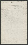
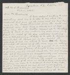
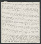
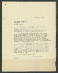
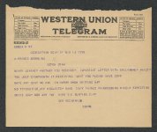
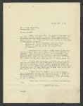
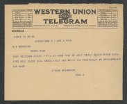
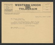
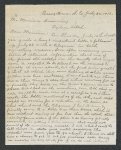
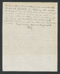
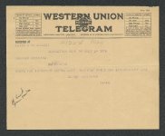
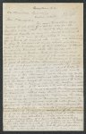
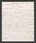
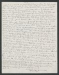
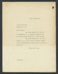
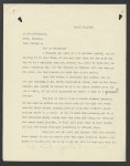
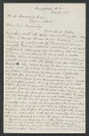
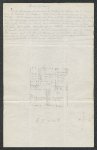
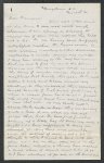
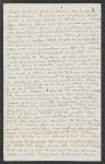
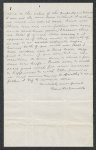
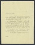
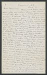
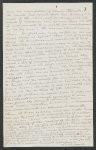
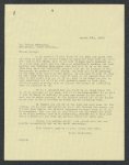
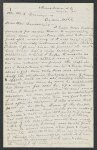
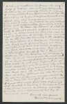
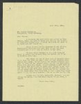
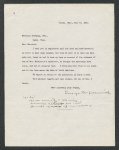
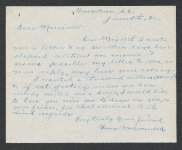
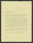
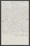
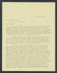
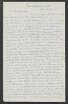
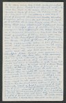
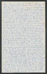
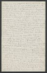
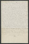
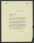
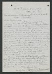
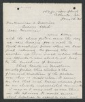
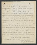
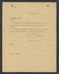
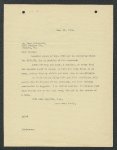
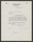
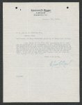
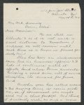
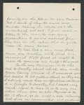
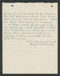
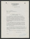
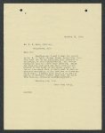
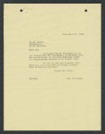
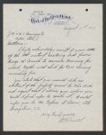
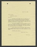
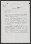
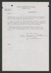
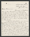
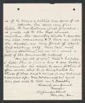
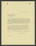
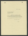
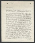
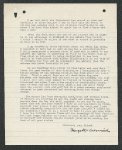
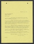
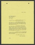
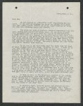
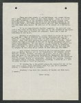
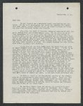
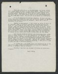
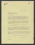
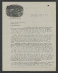
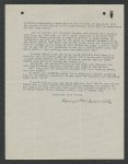
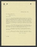
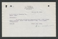
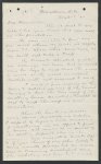
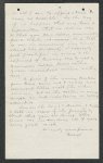
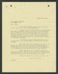
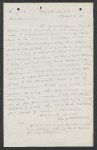
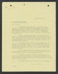
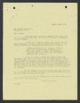
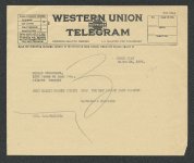
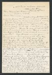
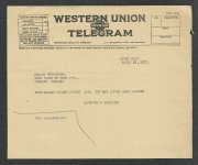
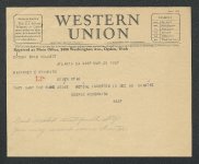
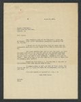
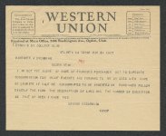
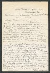
Exchanges, predominately from George McCormick to Matthew S. Browning and Marriner A. Browning, regarding a South Carolina property. |
| Subject |
Firearms industry and trade; Browning Arms Company |
| Digital Publisher |
Digitized by Special Collections & University Archives, Stewart Library, Weber State University. |
| Date Digital |
2026-03 |
| Date |
1917; 1918; 1919; 1920; 1921; 1922; 1923; 1924; 1925; 1926; 1927 |
| Medium |
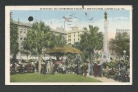
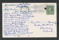
architectural drawings; correspondence; documents; financial records; legal documents; newspaper clippings; newspapers; photographs; postcards; receipts (financial records) |
| Spatial Coverage |
Atlanta, Fulton County, Georgia, United States; Georgetown, Georgetown County, South Carolina, United States; Jacksonville, Duval County, Florida, United States; Ogden, Weber County, Utah, United States; Salt Lake City, Salt Lake County, Utah, United States; South Carolina, United States; Toledo, Lucas County, Ohio, United States; Weber County, Utah, United States |
| Type |
Text; Image/StillImage |
| Conversion Specifications |
Archived TIFF images were scanned with an Epson Expression 13000XL scanner. Digital images were reformatted in Photoshop. |
| Language |
eng |
| Rights |
Materials may be used for non-profit and educational purposes; please credit Special Collections & University Archives, Stewart Library, Weber State University. For further information:  |
| Sponsorship/Funding |
Funding generously provided by the Val A. Browning Charitable Foundation. |
| Source |
MS492, Box 005, Folder 11, Special Collections & University Archives, Stewart Library, Weber State University. |
| Format |
application/pdf |
| ARK |
ark:/87278/s69hxncx |
| Setname |
wsu_ba |
| ID |
186403 |
| Reference URL |
https://digital.weber.edu/ark:/87278/s69hxncx |
| Title |
Page 130 |
| OCR Text |
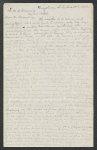
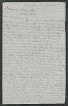
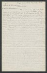
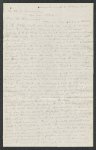
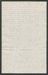
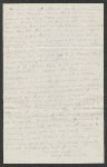
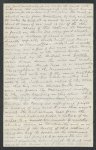
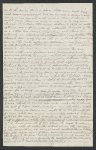
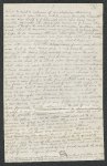
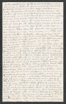
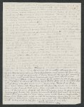
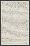
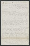
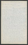
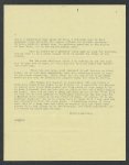
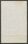
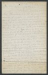
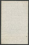
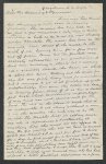
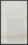
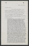
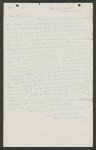
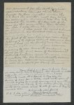
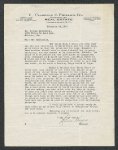
Show Title THE STATE OF Dorothea B. Utah, amlin in hand Browning, paid at ALL MEN of the do granted, grant, THESE of consideration of sum and the sealing of the County of whereof is sold released » the have BY County before » of Real Estate, UTAH, KNOW for to on receipt bargained, bargain, sell and the and release PRESENTS, Weber I, State af in the One Dollar, to these presents by of me ,» otate hereby unto THAT acknowledged, and the by these presents said /s An undivided one-half of all that certain piece, parcel or tract of land situate, lying and being on both sides of Pee Dee River in the County of Georgetown, State of South Carolina, consisting of those two plantations’ known by the names of "Breakwater" and"Hasty Point", including that part of "Cheraw Swamp" tract containing eighty-five (85) acres conveyed to Francis Weston by John E. Allston and also an island containing three (3) acres or more containing on hundred and twenty-five on the east seven (367) in said acreage in said Pee Dee river, the west side of said (825) acres said entire tract Pee Dee river eight or more of upland and side of said river three hundred and sixtyacres or more of rice land and on the island river three of said tract (3) acres or more, eleven hundred making the totel and ninety-five (1195) acres or more; that part of said tract iying on the west of said Pee Dee river being described as follows, to-wit: Beginning at a stake on the west side of Pee Dee river in the center of the ditch which divides said tract from the lands formerly belonging to J. H. Read and running thence S&S. 80.75° WV. 38 chains chains to a stake; or less to a stake land; thence south noxh 88° E. to a stake; thencg south 89.509 W. 43.48 thence north 75.50 W. 74.50 chains more af the northwest corner of said tract of 2 W. 11.70 chains to a stake; thence 7.80 chains to a stake; thence south 2° W. 36.60 chains te a stake; thence west four chains more or less to "Chapel" creek; thence following the meanderings of said Chapel Creek in a southeasterly direction 13 chains more @r less: to a stake on the east bank of said creek; thence south ss° E. 20 chains to a stake on the west side of "Snow Mill" road; thence following the said Snow Mill road south 52° ¥. 8 chains to a stake; thence following said road south 37° W. 7.50 chains to said Chapel creek; thence south 86° east 109 chains to a stake on a canal bank; thence north 735° E. 9 chains more or less to a stake; thence in a southerly direction 2 chains to a stake; thence in an easterly direction following the south side of a canal bank & chains more or less to Pee Dee River; thence following the meanderines of said Pée Dee river in a general northerly direction passing said Island about mid-way in the distance to the point of beginning; That part of said tract lying east of said Pee Dee river being bounded on the north by a canal which separates it from the lands formerly belonging to Je He Read; on the east by Wando Passo and Cooter creeks; on the south by a creek and canal which separates it from the lands of "Exchange" plantation and on the west by the |
| Format |
application/pdf |
| Setname |
wsu_ba |
| ID |
186533 |
| Reference URL |
https://digital.weber.edu/ark:/87278/s69hxncx/186533 |