| Title |
1962 |
| Creator |
Lubbers, Earl R. |
| Description |
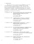
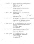
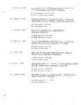
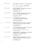
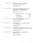
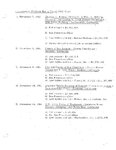
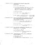
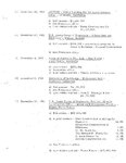
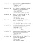
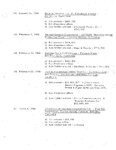
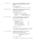
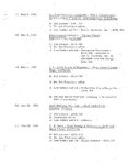
This is a five volume set documenting the history of Utah Construction Company from 1900 to 1964. It is a yearly account of the projects completed, bids won, and bids lost. Many times this contains the only record of some small projects. |
| Subject |
Utah Construction Company--History; Construction contracts; Construction projects--Management |
| Digital Publisher |
Stewart Library, Weber State University, Ogden, Utah, USA |
| Date Original |
1962; 1963; 1964 |
| Date |
1962; 1963; 1964 |
| Date Digital |
2009 |
| Temporal Coverage |
1860-1968 |
| Item Size |
8.5x11 inch |
| Medium |
books |
| Type |
Text |
| Conversion Specifications |
Archived TIFF images were scanned at 400 dpi with an Epson Expression 10000XL scanner and a Brother MFC-8860DN. JPG and PDF files were then created for general use. |
| Language |
eng |
| Relation |
https://archivesspace.weber.edu/repositories/3/resources/212 |
| Rights |
Materials may be used for non-profit and educational purposes; please credit Special Collections Department, Stewart Library, Weber State University. |
| Source |
MS 100 Box 50 Special Collections, Stewart Library, Weber State University |
| Format |
application/pdf |
| ARK |
ark:/87278/s6xwa5z5 |
| Setname |
wsu_ucc_erl |
| ID |
42108 |
| Reference URL |
https://digital.weber.edu/ark:/87278/s6xwa5z5 |
| Title |
1962 15 |
| Creator |
Lubbers, Earl R. |
| Description |
This is a five volume set documenting the history of Utah Construction Company from 1900 to 1964. It is a yearly account of the projects completed, bids won, and bids lost. Many times this contains the only record of some small projects. |
| Subject |
Utah Construction Company--History; Construction contracts; Construction projects--Management |
| Digital Publisher |
Stewart Library, Weber State University, Ogden, Utah, USA |
| Date Original |
1962; 1963; 1964 |
| Date |
1962; 1963; 1964 |
| Temporal Coverage |
1860-1968 |
| Item Size |
8.5x11 inch |
| Medium |
books |
| Type |
Text |
| Relation |
https://archivesspace.weber.edu/repositories/3/resources/212 |
| Rights |
Materials may be used for non-profit and educational purposes; please credit Special Collections Department, Stewart Library, Weber State University. |
| Source |
MS 100 Box 50 Special Collections, Stewart Library, Weber State University |
| Format |
application/pdf |
| Setname |
wsu_ucc_erl |
| ID |
42620 |
| Reference URL |
https://digital.weber.edu/ark:/87278/s6xwa5z5/42620 |

