| OCR Text |
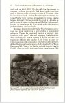
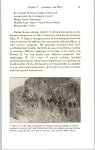
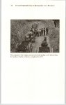
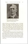
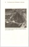
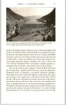
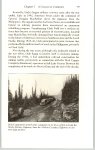
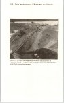
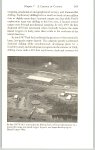
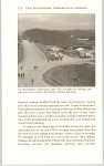
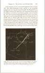
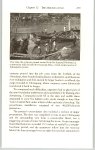
Show 182 UTAH INTERNATIONAL: A BIOGRAPHY OF A BUSINESS the inception. Their leaders realized that the large mine could dramatically expand employment opportunities on the reservation and improve the local standard of living. Low-cost electricity would become available on many parts of the reservation that would otherwise remain without power. Although geologists had known of these coal reserves for many years, Utah Construction geologists became the first to map them. Early investigators had a difficult time even finding the area. The first aerial photograph of the region missed it completely. The reserves lay in the mesa country of the mile-high Colorado Plateau, where flat or rolling uplands gave way occasionally to cliffs or badlands. With an annual precipitation of less than eight inches, the entire area under lease supported only three cottonwood trees amid sparse desert vegetation. Utah’s exploration efforts in the San Juan Basin found coal beds dating from the Upper Cretaceous, occurring in the Fruitland area and underlying Menefee formations where the coal was older and consequently of better quality. The deposits, “shaped like two huge lopsided oblong plates, one stacked inside the other,” featured seams inter-bedded with sandstone and shale. Comparatively uniform throughout the lease area, the hard and brittle coal ranked as C-grade sub-bituminous, with a bright luster and a heat-content ranging from eight to eleven thousand BTUs per pound. Deposits appeared to vary in thickness from two to twenty feet, with a main seam of thirteen feet. The first usable seam slanted into the earth from beneath a thirty-foot overburden that gradually increased in depth. When actual mining operations began, Utah personnel estimated that the Navajo coalfield held reserves in excess of onehalf billion tons. The saga of the Navajo Mine began in 1953 at Window Rock, Arizona, where Weston Bourret represented Utah in negotiations with tribal leaders for a prospecting permit and option to lease. The following year, the company received permission to explore and drill on 124,000 acres of Navajo land. Because a planned power plant in the vicinity of the mine would be the most practical market for the coal, Utah applied to New Mexico for water rights from the San Juan River. The state subsequently granted Utah 51,600 acrefeet annually of the river’s flow. |